
Save on fertilizer and crop protection
Spend on your field only what it needs.
Nutrient balance
How much fertilizer you waste and where, from the soil test you already have.
We save you at least 30% on fertilizer.
If we fall short, you do not pay for our service.
Drone at leaf level
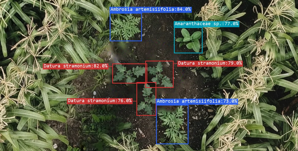
We detect which weeds your field has and where they are. You spray only where it is needed.
We look at every square centimetre of your crop.
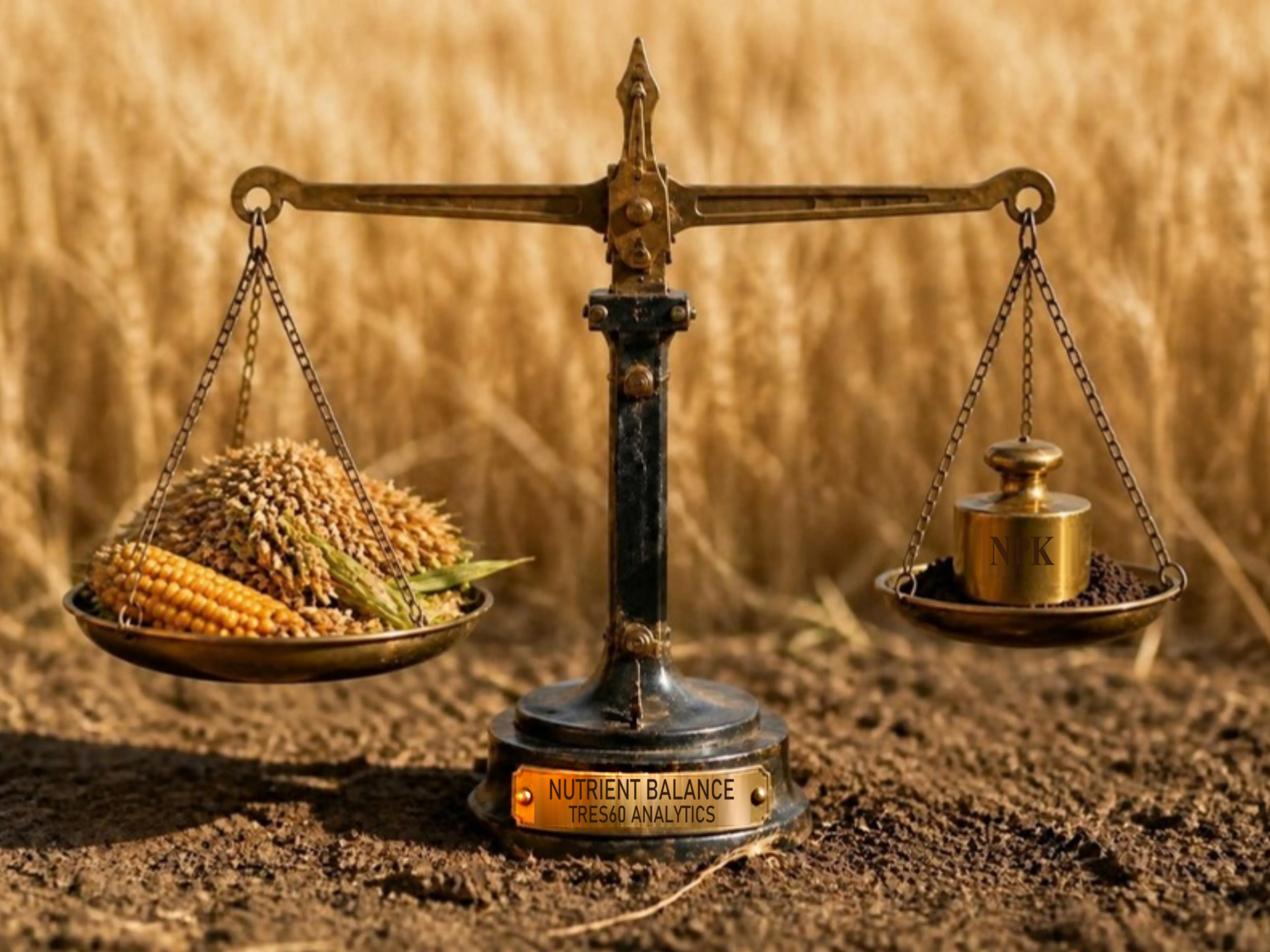
The nutrient balance
What the crop needs, minus what the soil supplies
Benefits
- You stop paying for fertilizer your crop will not take up.
- Less fertilizer wasted, less nitrate reaching the groundwater.
What it includes
- A calculation that corrects your soil test to estimate what the plant will be able to take up.
- Irrigation water quality analysis (optional).
- Microbiome analysis, what lives in your soil (optional).
- Practical Report, with the proposed fertilizer plan.
- Full Report (Premium), with everything found in your soil.
- A variable rate map for your tractor, and the groundwork for your nutrient management plan.
The rules
The rules ask you to plan your fertilizer. Ours starts from your own fields.
Since 2018, every farm in England has had to plan fertilizer and manure use against what the soil and the crop need, with soil test results no more than five years old. Inside a Nitrate Vulnerable Zone you also need a nitrogen plan for every crop and field before you spread, and you keep your records for five years. Wales, Scotland and Northern Ireland have their own rules.
Our balance gives you the groundwork for your plan, field by field. The plan and the records stay yours. And along the way you can stop paying for the fertilizer you do not need.
Remote sensing at leaf level
Know every square centimetre of your field
Benefits
- You find what you cannot see from the field edge, while you can still act.
- You treat the marked patches with your sprayer, not the whole field.
What it includes (depending on the type of analysis)
- Photos so close you can see every leaf.
- Every finding pinpointed, with its location and photo.
- A map with the affected area of each patch.
- Tassels left after detasseling, thorn apple (jimsonweed) and johnsongrass.
“The person who sells you the bag will never tell you that you have too much.”
Measure before you decide
The soil test you already have, interpreted for free. Or five hectares (12 acres) flown, also free. Once per client, and then you decide.